





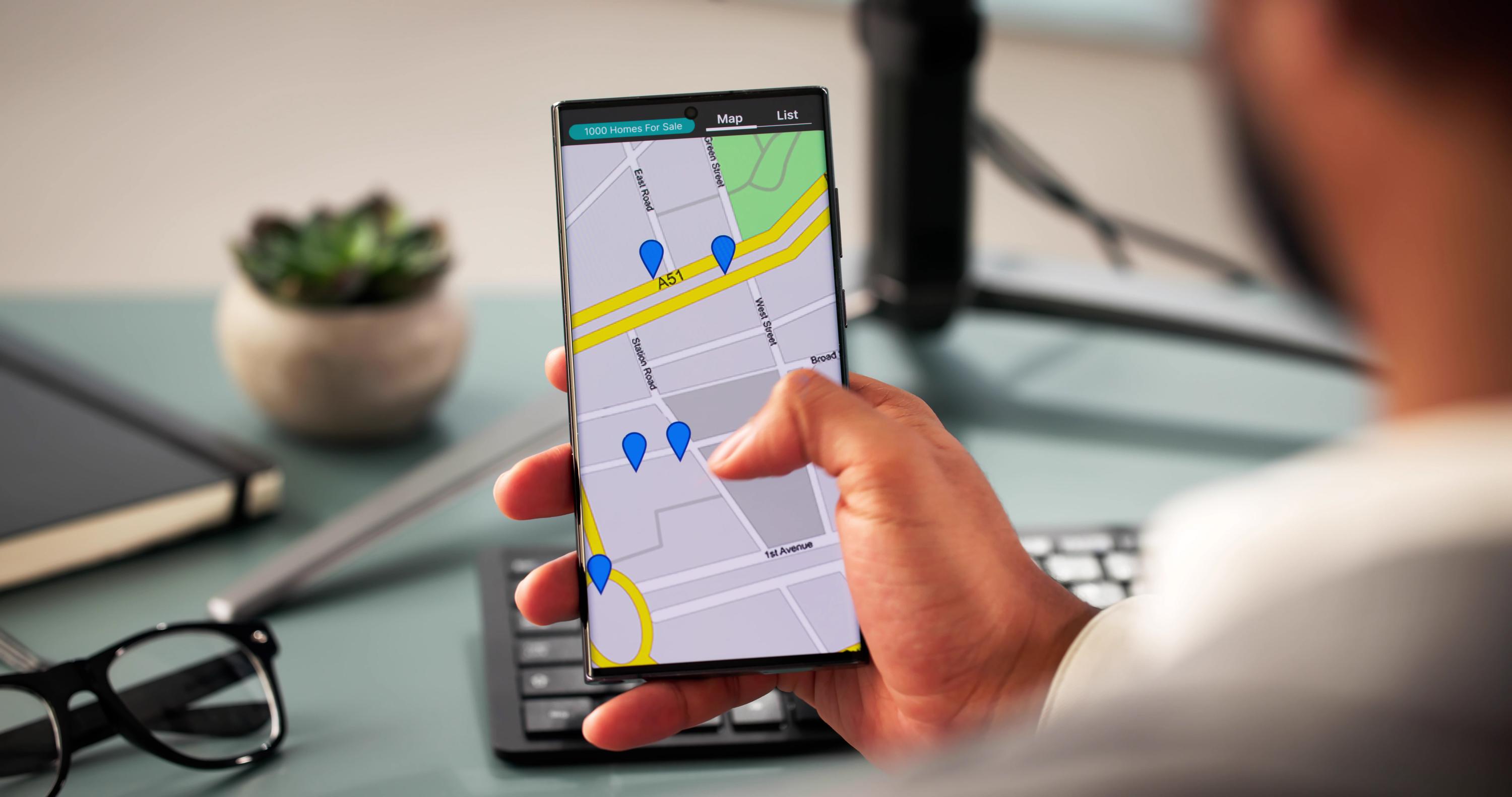
You’ve likely uploaded dozens of photos without thinking about how they impact your local search rankings. Those images hold hidden potential to boost your Google Map Pack visibility and sharpen your service-area relevance. By geotagging photos and optimizing your local media, you signal to Google exactly where you serve—and that signal can turn browsers into callers. This post breaks down how to turn your images into powerful local SEO tools that get results. Learn more about the importance of geotagged content.
Boosting Local SEO with Geotagged Images
When you think of ranking locally on Google, you might picture keywords or reviews. But did you know your photos can play a big role too? By geotagging images, you provide Google with valuable cues about your service area.
Understanding Geotagging Photos
Geotagging photos involves adding location data to your images. This means your photos carry information about where they were taken. Imagine uploading a picture of your latest project with its exact location tagged. This tells Google and potential customers where your services are available. It’s more than just a picture; it’s a map pinning your expertise to a location.
Geotagging also enhances your Google Business Profile. By linking your photos to specific areas, you boost your credibility. People searching for services like yours are more likely to find you. Instead of being just another name on the list, your business stands out with visual proof of your local presence.
Enhancing Google Map Pack Visibility
Appearing in the Google Map Pack is crucial for local businesses. It’s the trio of results that appear first when people search for services nearby. Geotagged photos can be the secret weapon to getting there. By showing Google exactly where you operate, your chances of being featured increase.
Photos with location data provide more than just visual appeal; they signal relevance. Google values this type of data because it helps verify the authenticity of your business. If your images match your service areas, Google is more likely to trust your listings. This trust can translate into higher visibility in the Map Pack, leading to more potential customers reaching out.
Strengthening Service-Area Relevance

Once your photos are geotagged, it’s time to focus on optimizing other aspects to strengthen your service-area relevance further.
Local Ranking Factors and Strategies
Understanding local ranking factors is key. Google considers several elements, such as proximity, relevance, and prominence. Photos play a role in relevance and proximity. By geotagging and uploading consistently, you continually remind Google of your business’s active presence in the area.
Consistency in your Google Business Profile, including posts and updates, further supports this strategy. High-quality images backed by accurate location data can be a game-changer. They show Google that your business is not only operational but also engaged with the community.
Photo SEO and EXIF Data Insights
Beyond geotagging, optimizing photo SEO and EXIF data is crucial. EXIF data refers to the technical details stored within your images, including location, time, and camera settings. By ensuring this data is accurate and complete, you enhance your images’ SEO potential.
Photo SEO isn’t just about quality; it’s about ensuring your images align with your business’s keywords and service areas. Use descriptive file names and alt texts that reflect your offerings. This approach ensures that every image contributes to your overall local SEO strategy.
Leveraging Local Content and Citations

Once your photos are optimized, another important aspect is to build and maintain local content clusters and citations.
Building Local Content Clusters
Building local content clusters involves creating content that ties your business to specific areas. This can include blog posts, service pages, and city-specific content. By linking these clusters to your geotagged images, you create a web of relevance. Each piece of content reinforces your local authority.
Content clusters are like neighborhood maps, guiding potential customers through your expertise. They support your geotagged images by providing context and depth. This layered approach to local SEO not only attracts more search traffic but also builds trust with your audience.
Ensuring NAP Consistency and Local Citations
NAP consistency refers to having the same Name, Address, and Phone number across all online platforms. Ensuring this consistency is vital for local SEO. It builds trust with search engines and users alike. Alongside NAP, local citations are mentions of your business on other websites. These endorsements validate your business’s authenticity.
Linking your geotagged photos to your NAP and citations bolsters your local credibility. It’s about creating a consistent, trustworthy image across the web. This consistency not only improves your search rankings but also boosts customer confidence.
Frequently Asked Questions
What are geotagged images?
Geotagged images are photos with embedded location data that specify where the photo was taken. This data helps search engines understand the geographical context of the image, enhancing local SEO efforts by signaling where your services are offered.
How do geotagged images affect local SEO?
Geotagged images boost local SEO by providing location-specific data that helps improve your business’s relevance and visibility in local searches. They can increase your chances of appearing in the Google Map Pack, attracting more local customers.
What is EXIF data in photos?
EXIF data is the technical information stored within an image file, including details like the camera used, settings, and location. Optimizing this data ensures your photos align with your local SEO strategy, enhancing their impact on your rankings.